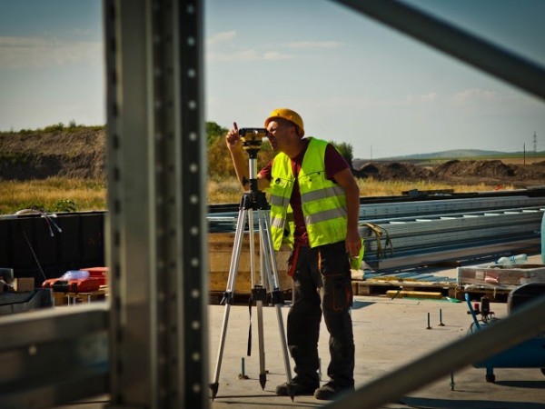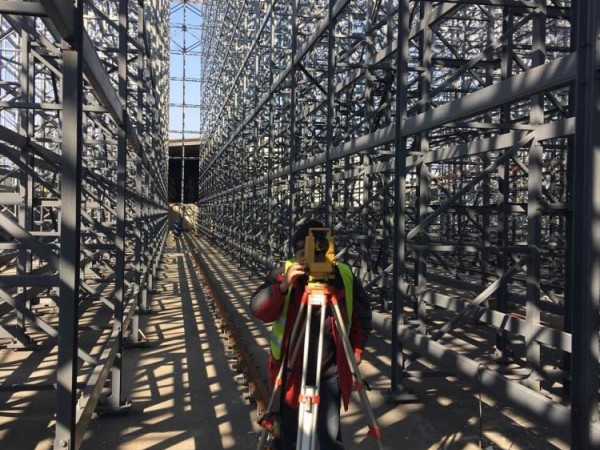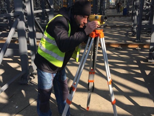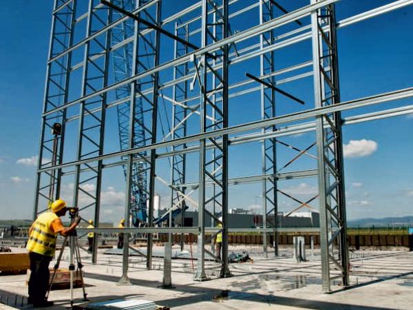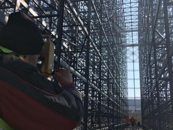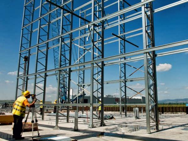
Complex surveying work-related with prospecting, design, construction (installation) and operation of sites is defined as a specific portion of geodesy in the construction.
Geodetic photograph (shooting)
Surveying photograph (shooting) from earth observation image specify the location of specific points, which are subsequently applied to a plan, model number or card.
The determination of the position of points is done by means of geodetic work base, a network of permanently stabilized on the surface markers with precisely determined coordinates in a horizontal position and height.
Tracing
Under tracing is meant to mark the site of various points, made planes or surfaces, coordinate data, which are previously known.
In laying out the mutual position of points is determined on the basis of a drawing plan or a digital model to be implemented on site.


